 |
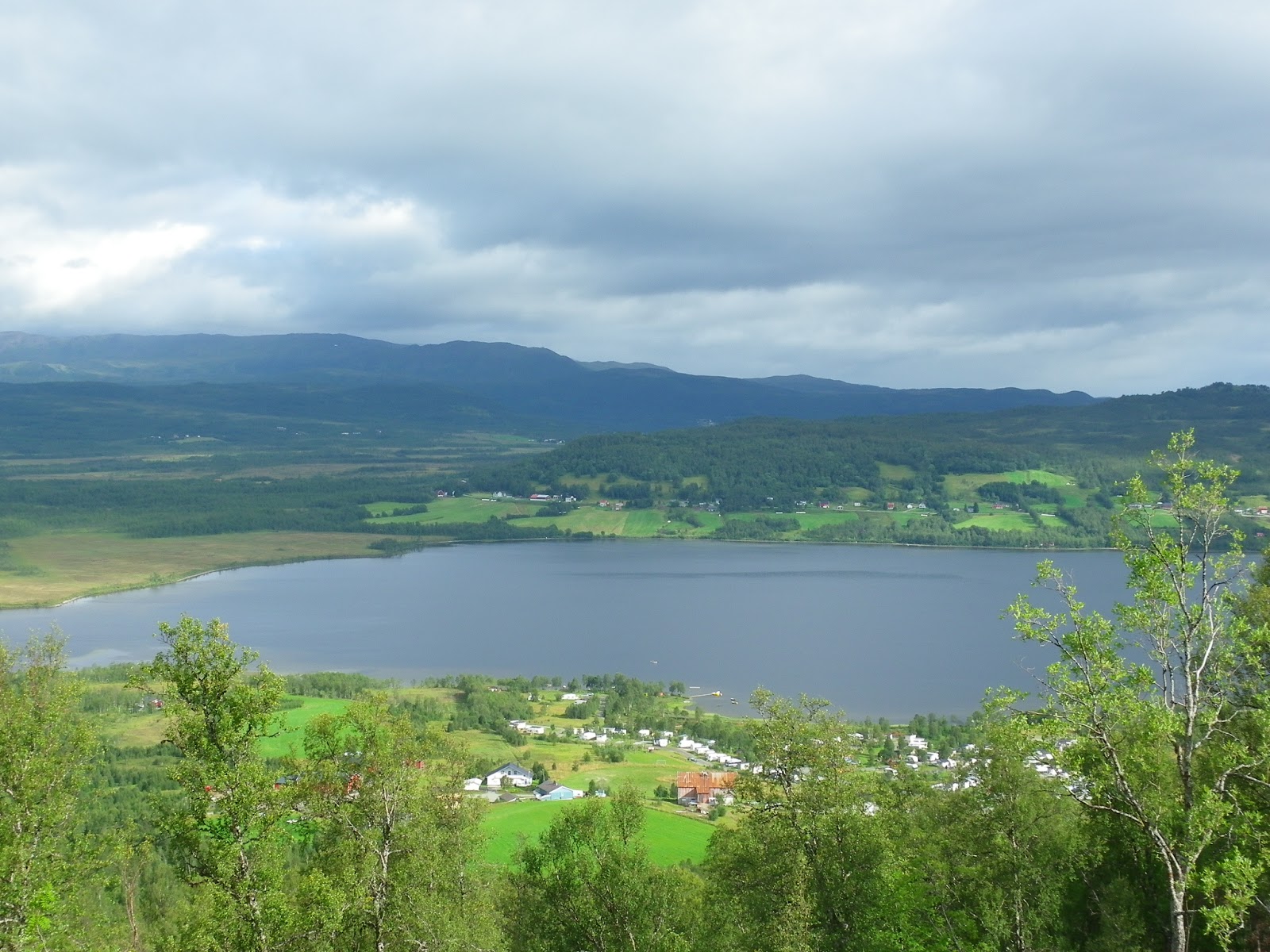
| Looking down on this morning’s campsite |
We woke early for once and with no rain in sight we packed snacks and drinks and set out for the nearest mountain – Gammelveten.
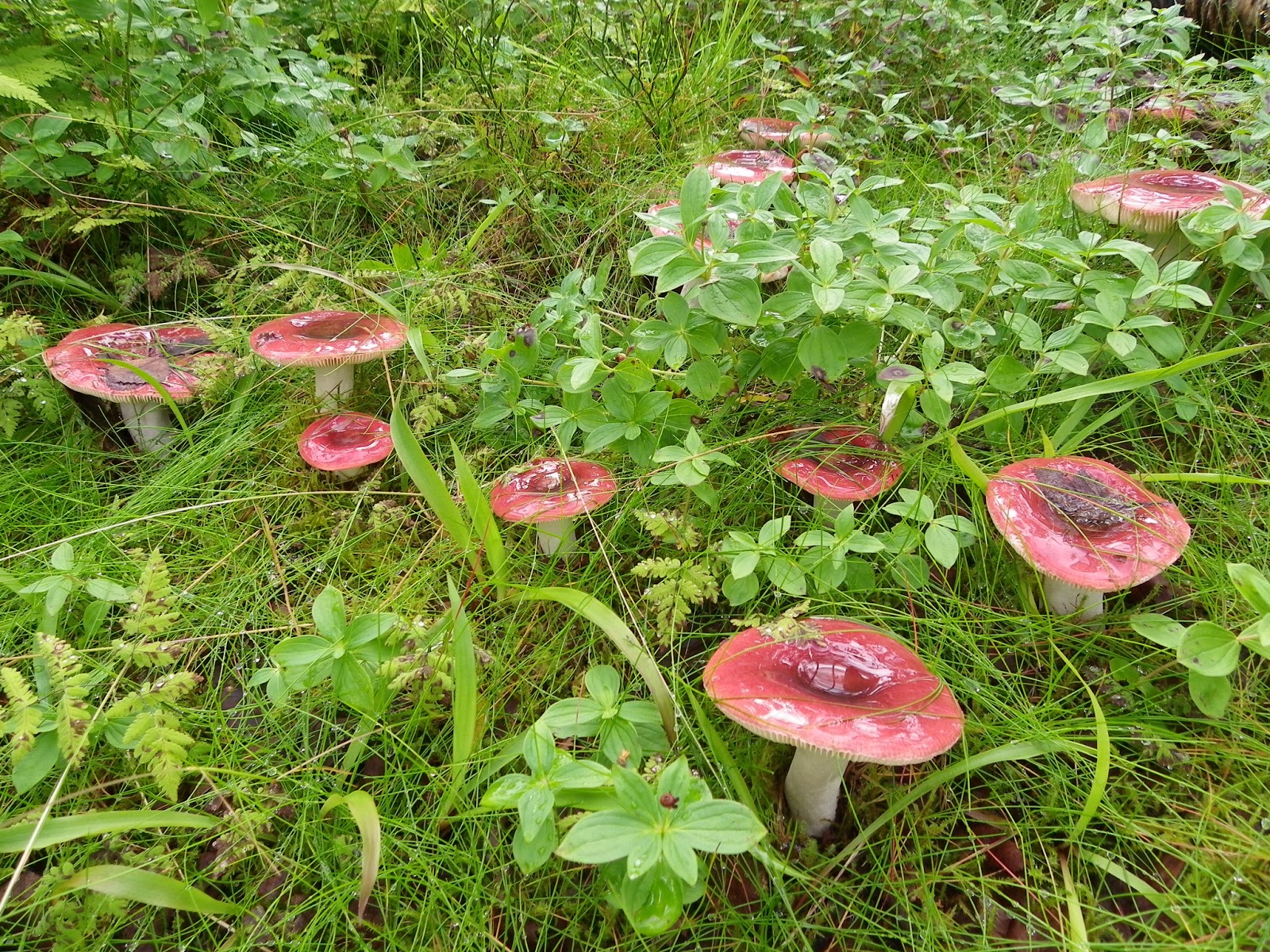
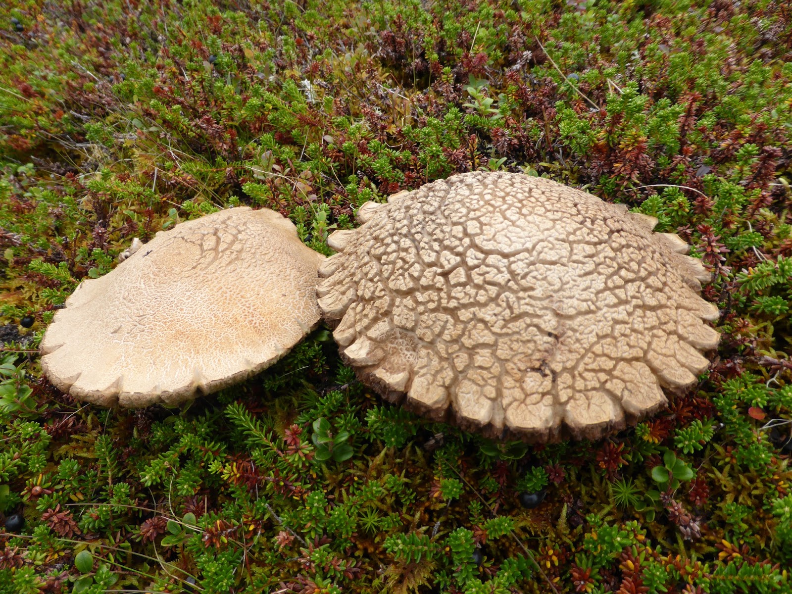 The campsite lady told us the way was very clearly marked and sure enough it was, so soon we were walking steeply up through birch and aspen over mossy ground sprinkled with toadstools.
After two hours or so we were at a high narrow plateau below a series of peaks from which there was apparently a magnificent view that featured on all the trail maps.
The only problem was the marked path was taking us down the other side of the mountain to another village which would have taken us too far from home.
We doubled back to find a way up the tallest peak but there was absolutely no trail. So we set out to make our own and in half an hour or so we had clambered up through the boggy crevices and were sitting on the top of a rocky bluff with a three hundred and sixty degree view over fjords and lakes and distant mountains.
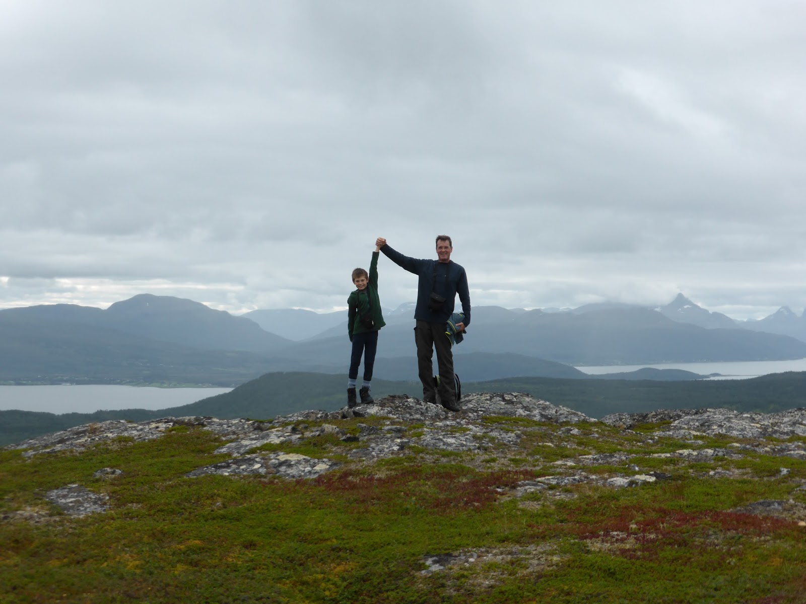
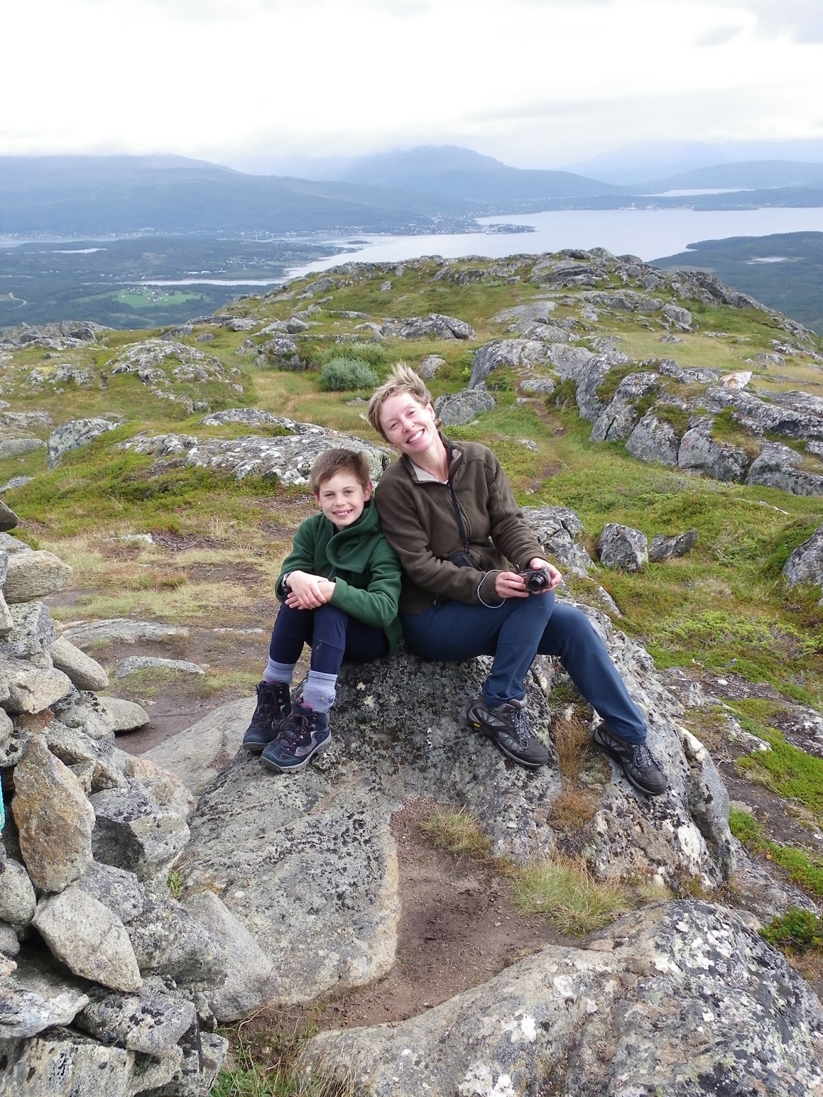
 It was cold up there but well worth the effort. There was though, no marked trail down so we made for the next little peak that had a big cairn on the top and sure enough there was a trail up to it. After signing our names in the visitors book sealed in a box at the top, we began to descend down the side of the mountain along the trail – not the way we had come up but apparently in the same general direction. It was steep but got us down in about an hour having done about six miles and up and down fifteen hundred feet or so. The problem was, we didn’t seem to be where we thought we would be and when I fired up trusty google maps on my phone, the directions said the campsite was actually a seven mile walk around the mountain to the other side. This was going to take up a lot more of our day than we had planned, not to mention the fact that we were all pretty whacked from the steep hike we had just done, so we began trying to hitch a ride from the handful of cars that passed. One stopped quite quickly but the guy was carrying something big in his estate and had no room for us. On we slogged along the grey tarmac road in the middle of no-where until after another couple of miles we saw a sign to “ArtSenja”.
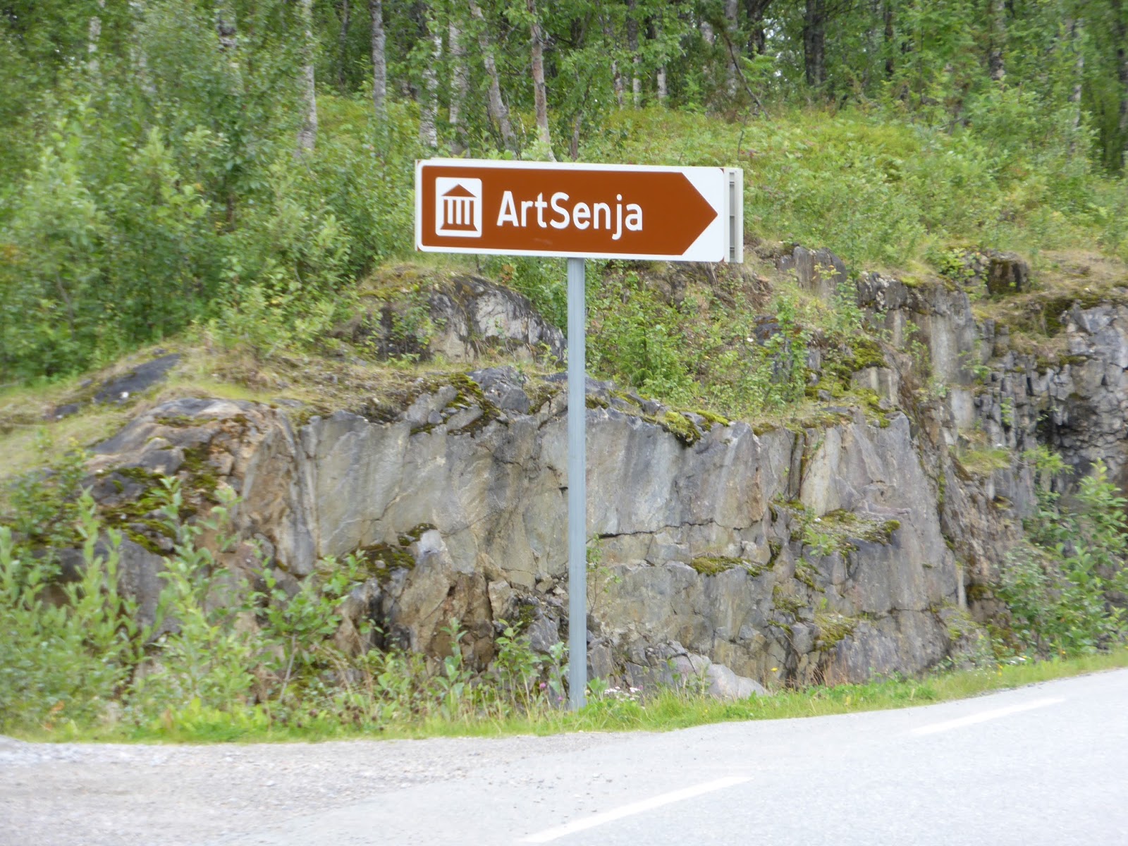
It was a big gallery in splendid isolation on the hillside and run by a smiling woman in big black glasses who sent us off through her showroom to have coffee and chocolates while she tried to raise the local cabbie. Unfortunately she (the cabbie) was way down in the south of Senja and it looked like we would have to walk. Fortunately though the gallery lady knew a path through the woods that would take us almost directly to the campsite and what’s more, I found it marked on the google map.
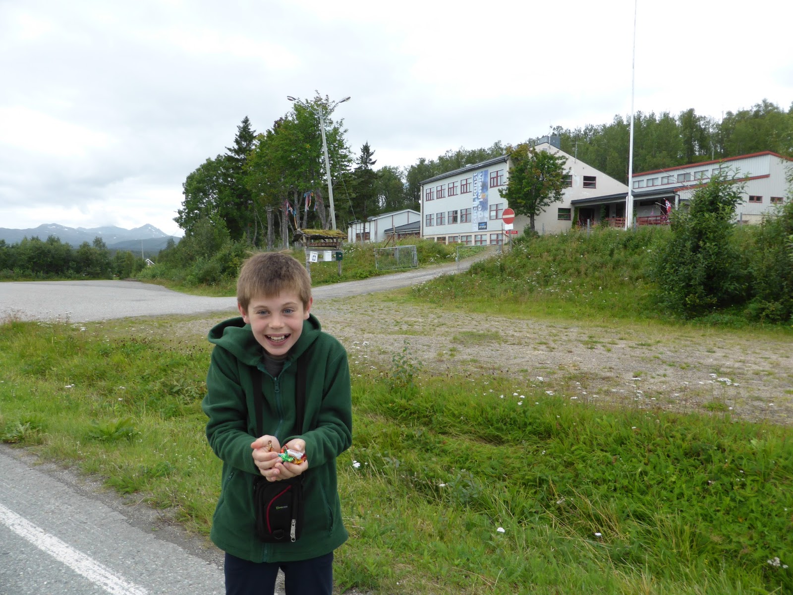
T was looking fairly weary but soon brightened up after our lady gave him a big handful of sweets from a bag and soon we were walking through woods – downhill and in the right direction. It was another forty five minutes or so but we got back – having done something approaching ten miles all up – Tom immediately ran for the trampoline…
 After wolfing down platefuls of bread and cheese (and pickle and Remoulade) we set off again; jolting down a long rough road past ramshackle farms until we hit the coast and watched the mountains grow around us, plunging steeply into the sea and fringed by tiny fishing villages. it is a spectacular drive.
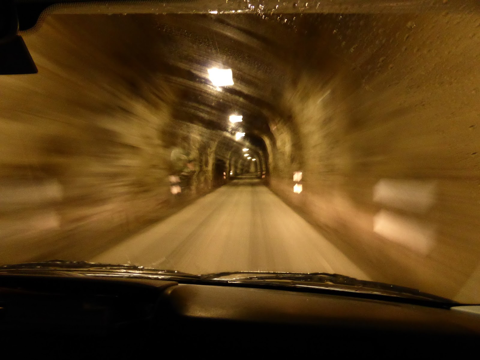 The road climbed, levelled out and dived, occasionally plunging through the most terrifying gloomy tunnels which had P and I humming the “hall of the Mountain King”.
I’ll say this for the Arctic; the sky is never dull and once again the tussle between patches of blue sky, shafts of sunlight and filthy grey cloud had been won by the rain. It was hammering down and we decided to turn off to Metfjørdvaer. As soon as we stopped, so did the rain. We walked up to a hotel restaurant where the beaming young waitress sat us down and brought us drinks. There was whale on the menu – as a starter or a main course, and an old wooden harpoon among the acoutrements on the wall. P had halibut, I had cod and T had sausages and it was wonderful to sit there with big plates of food and weary limbs and reflect on the day. Tomorrow we begin the journey south – somewhat reluctantly…
Sent from my iPad

Leave a comment